
Rajgundha is a small mountain village in the Chhota Bhangal region that many travellers visit as a quieter extension to a Bir Billing trip. One established walking option begins near Billing, the paragliding take-off area above Bir, and crosses forested slopes and open meadows before descending towards the village. Exact distances and walking times vary with the start point, trail condition, weather and pace, so confirm the current route with a local guide before setting out.
Where the trek starts
Bir is the main base for accommodation, cafés and local services. Billing sits higher up the mountain and is commonly used as the starting point for the walk towards Rajgundha. Arrange a reliable transfer to the agreed trailhead and confirm where you will finish; do not assume a taxi will be waiting unless this has been arranged.
What the route is like
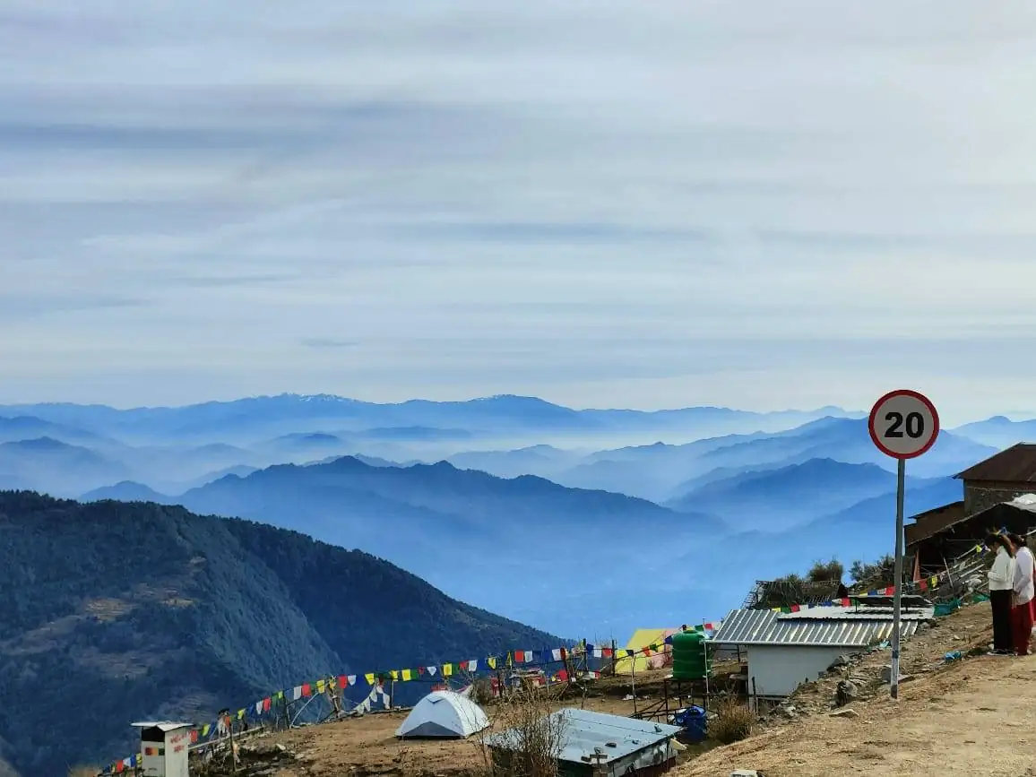
The route generally combines forest paths, ridge or meadow sections and a descent towards the village. The terrain may feel straightforward in good conditions but is still a mountain walk with uneven surfaces, weather exposure and junctions where local route knowledge helps. Carry water, food, layers, rain protection, offline navigation and a charged phone. A local guide is a sensible choice if this is your first visit or the trail is unfamiliar.
How much time should you allow?
Do not plan the trek using a single distance or time estimate copied from an old listing. Walking time depends on the exact trail, stops, fitness, luggage and conditions. Start early enough to finish well before dark, and avoid adding extra viewpoints if the weather or pace is already making the day long.
Staying in Rajgundha
Some visitors choose a village homestay or basic camp and return the following day. Confirm accommodation, meals, bedding, payment method and availability before leaving Bir. Facilities may be simpler than those in town, mobile coverage can be unreliable, and you should carry enough cash and essential supplies rather than expecting shops or ATMs.
Returning to Bir or continuing towards Barot
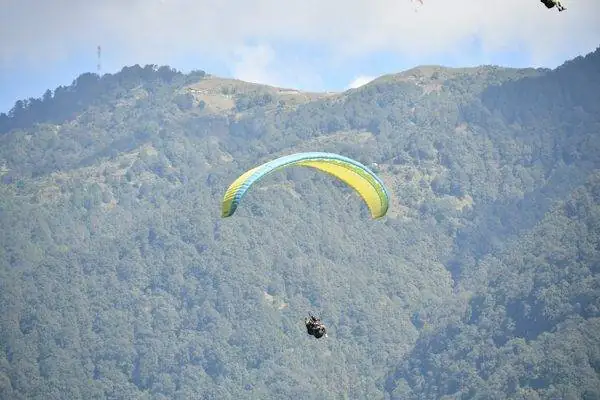
The simplest plan is to retrace your route to Billing and arrange transport back to Bir. Another option may be to continue towards the Badagran and Barot side, but this is a different itinerary and depends on the current trail, road access and transport arrangements. Confirm the exit route and pickup point with local people before committing; do not assume a continuous road or vehicle access all the way to the village.
When to go and when to reconsider
Spring, early summer and post-monsoon periods are commonly considered for walking in this region, but local weather and access matter more than a calendar label. Snow, heavy rain, landslides, slippery paths or poor visibility can make a route unsafe or inaccessible. Check current conditions locally and postpone if advice is uncertain.
Rajgundha trek checklist
- Confirm the route, trailhead, return point and current access with a local source.
- Book a stay in advance if you plan to overnight in the village.
- Carry water, snacks, warm layers, rain protection and a basic first-aid kit.
- Take a guide if you are unfamiliar with the trail or conditions.
- Tell your accommodation or a trusted contact your plan and expected return.
- Pack out rubbish and respect village homes, farmland and local customs.
Plan next: Use our trekking and hiking guide, compare places to stay in Bir, and allow time for the journey on our transport page.
KEEP PLANNING
Make your Bir trip fit your pace.
Check transport, places to stay and the details that matter for your dates.