
Bir Billing · Kangra, Himachal Pradesh

Take the slower
way through the hills.

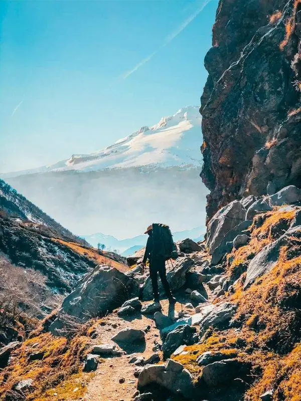
Explore walking routes, forest paths and longer mountain treks around Bir Billing with a realistic plan for distance, weather and ability. Start with local conditions—not just a line on a map.

Walking and trekking around Bir BillingRoute conditions can change seasonally
⌁Short local walksFor flexible, low-commitment outings
↗Uphill routesPlan for climbing and return time
⌂Village landscapesRespect homes, farms and local access
✓Safety firstUse a guide when route knowledge matters

Find your level

Choose a walk that fits the day.

These are planning categories, not guaranteed marked trails or fixed-duration packages. Ask a knowledgeable local about current access, route-finding and conditions before setting out.

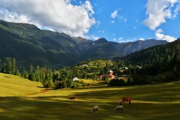
Open countryside and fields in the Kangra foothills01

Easy-going

Village and countryside walks

A short walk near the settled areas can be a good way to see the landscape without committing to a long ascent. Surfaces may still be uneven, and some paths cross working farmland or private property.

Good for

Travellers who want a gentle outing, time outdoors and flexibility to turn back when needed.

  • Ask before entering fields or private paths
  • Wear shoes with grip, even for short walks
  • Carry water and check the return route

Plan a relaxed day →
Forest cover on the hills around Bir Billing02

Moderate effort

Forest paths and uphill hikes

Hikes into the surrounding foothills can involve sustained climbing, loose ground and sections where the path is not obvious. Distance alone is a poor measure of difficulty: ascent, heat, rain and footing all matter.

Before you go

Confirm total ascent, estimated walking time, navigation, water availability and whether a local guide is recommended.

  • Start early and set a firm turnaround time
  • Carry a light waterproof layer and warm layer
  • Do not rely on mobile signal for navigation
Prepare your trip →
Mountain slopes and ridgelines in Himachal Pradesh03

Longer commitment

Billing and higher routes

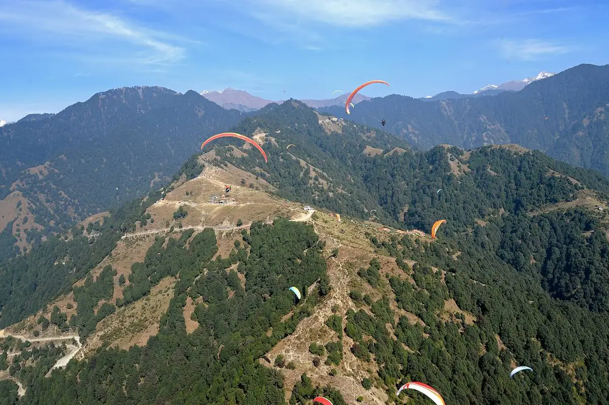
Billing is the well-known paragliding take-off area above Bir, and the route between Bir and Billing climbs significantly. Treat a walk to Billing as a substantial uphill outing rather than a casual stroll, and verify the route and conditions locally.

Be realistic

Plan for the full ascent or descent, changing mountain weather and a safe way back. Do not assume a flight or vehicle transfer will be available as your return plan.

  • Check current route access and weather
  • Carry enough water, food and warm layers
  • Arrange a return option before you leave
Explore more outdoor options →
Layered foothill landscape in the Kangra regionLet the landscape set the pace

Understand the setting

Bir is in the Kangra foothills.

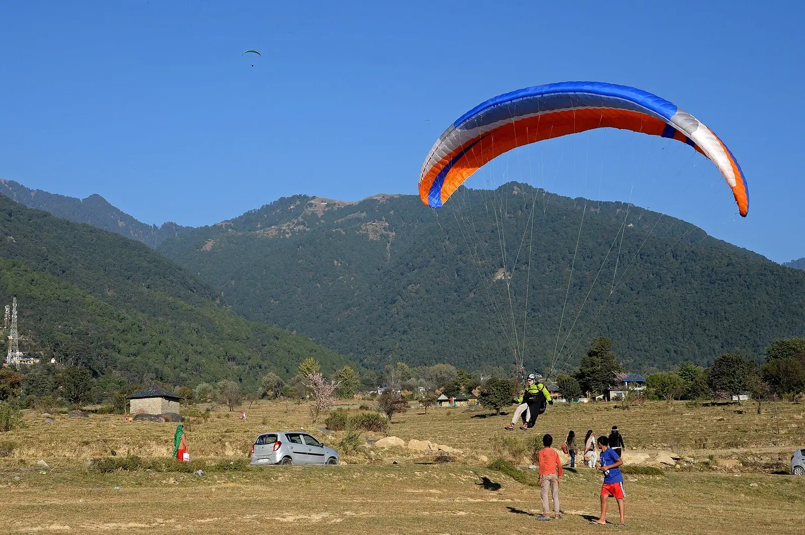
Bir and Billing are in Kangra district, Himachal Pradesh, in the wider Dhauladhar foothill landscape. The area is known for paragliding, and the region also offers walking routes, village scenery and cultural places. Not every trail is a formal, waymarked hiking route.

For unfamiliar or more demanding walks, ask a local host or qualified guide about the current route, access and expected conditions. Respect farms, livestock, religious sites and the privacy of residents as you pass through the area.

Check accessPaths and local conditions can change.
Respect communitiesAsk before photographing people or homes.
Leave no traceTake rubbish back with you.

Before you set out

A practical trail checklist.

Mountain weather and trail conditions can change quickly. Use this checklist alongside current local advice; it is not a substitute for a guide or emergency services where needed.

A walking route through the foothills
01

Check weather and daylight

Review a current forecast and ask locally about rain, visibility, temperature and trail conditions. Set off early enough to finish in daylight and turn back if conditions deteriorate.

02

Choose route and support

Confirm the route, distance, elevation gain, expected duration and return options. For unfamiliar, remote or demanding terrain, use a knowledgeable local guide rather than relying on an unmarked map trace.

03

Pack for the terrain

Wear footwear with suitable grip. Carry water, snacks, sun protection, a charged phone, a small first-aid kit and layers appropriate to the forecast. Add a headlamp if there is any chance of delay.

04

Share your plan

Tell your accommodation or a trusted person where you are going and when you expect to return. Keep a realistic turnaround time and do not split from your group without agreement.

05

Respect local access

Stay on established routes where possible, follow signs and instructions, close gates behind you, avoid disturbing livestock and wildlife, and carry all rubbish back out.

Common questions

Trekking FAQs.

Use these answers as a starting point. Route access, guide availability and conditions should be checked close to your planned walk.

Contact BirTrip →
Are there easy walks around Bir?

There are village and countryside walks in the wider area, but the surface, access and route marking vary. Ask locally for a current suggestion suited to your fitness and the day's conditions.

Is the Bir-to-Billing walk easy?

It should not be treated as an easy flat stroll. The route climbs from Bir towards Billing and involves a meaningful ascent. Confirm the current walking route, estimated time, weather and return arrangements before starting.

Do I need a guide?

For a short, familiar walk this depends on your experience and local route information. For unfamiliar, poorly marked, remote or more demanding routes, a knowledgeable local guide can help with navigation, conditions and safe decision-making.

When is the best time to hike?

Conditions vary by route and year. Spring and autumn are often considered for outdoor visits around Bir Billing, but rain, heat, cold, visibility and trail conditions matter more than a general seasonal label. Check a current forecast and local advice.

Can I rely on mobile signal?

Do not assume you will have reliable signal throughout a walk. Download or save route information in advance, tell someone your plan and avoid depending on your phone as the only safety measure.

What if the weather changes?

Turn back or choose a safer route if conditions become unsuitable. Avoid river crossings or exposed terrain in poor weather, and never continue simply because you have set a destination or schedule.

Plan the whole visit

Make room for the unexpected.

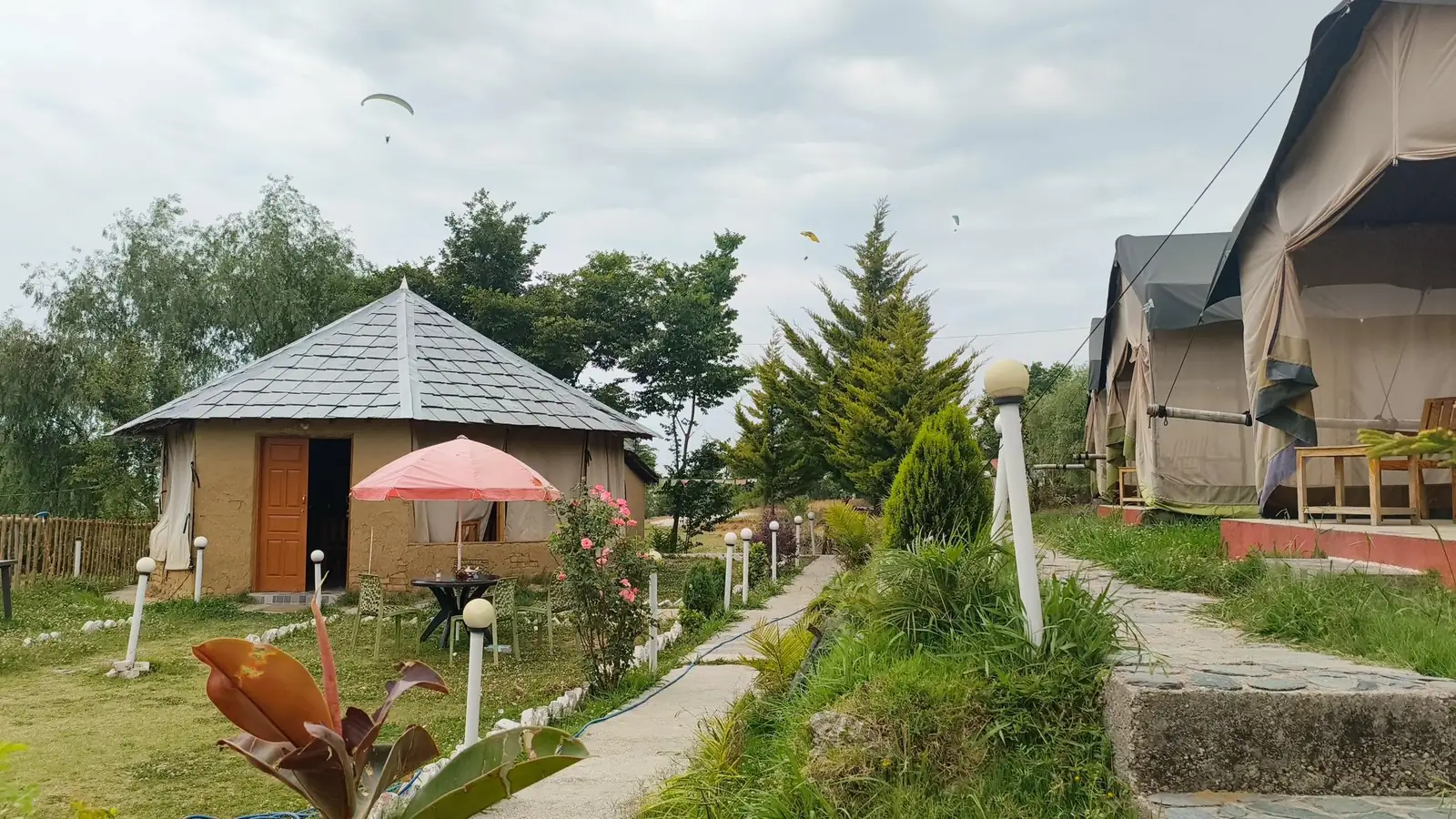
Build in time for the walk itself, the return journey and a weather backup. Sort your base and local transport ahead of time, then choose the route that fits the conditions you actually find.

PLAN THE ROUTE, NOT JUST THE VIEW

How to choose a walk around Bir.

A useful route plan accounts for the return journey, not only the distance to a viewpoint. Use these checks before choosing a trail.

01

Ask about ascent

Request the elevation gain and expected time for the full outing, including the return. A short distance can still be strenuous on a steep or uneven path.

02

Confirm access

Check whether the route is currently accessible, whether it crosses private land and whether local guidance is recommended. Do not treat an online map line as proof of a maintained trail.

03

Set a turnaround time

Choose a latest time to turn back before you start. If progress is slower than expected or weather deteriorates, change the plan rather than rushing to reach a destination.

04

Plan the return

Agree on a pickup point or return route in advance where needed. Do not assume transport, a paragliding flight or mobile coverage will be available when you finish.

Route details and conditions can change. Confirm current advice locally and follow any access restrictions.

Chat on WhatsApp